Bourne End Auction Rooms
Bourne End Auction Rooms
£1,000
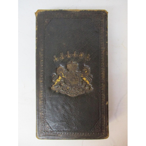
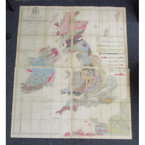
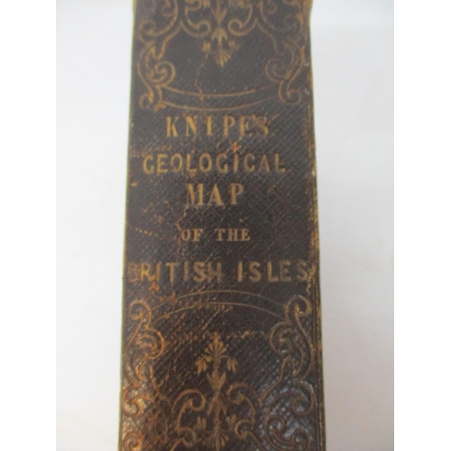
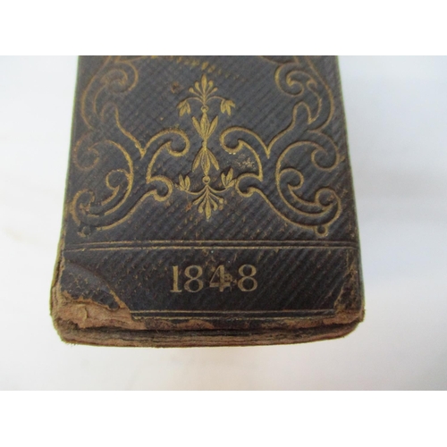
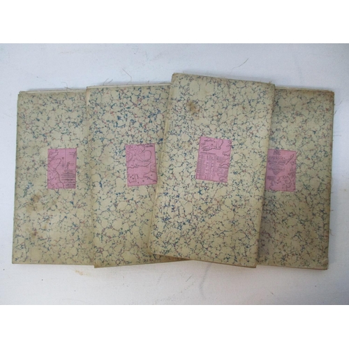
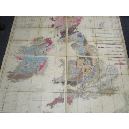
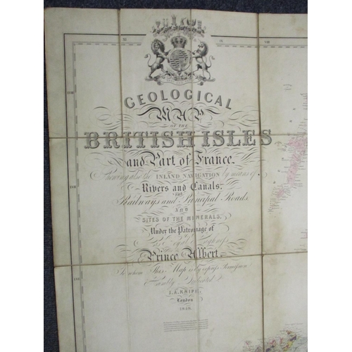
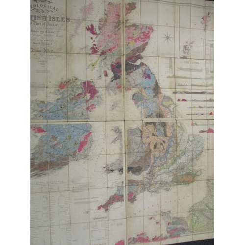
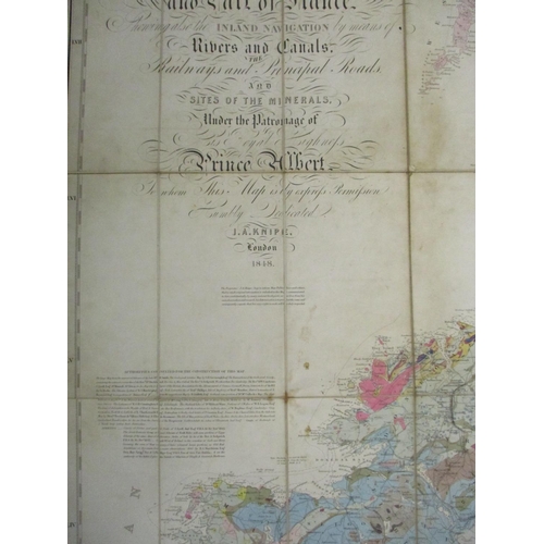
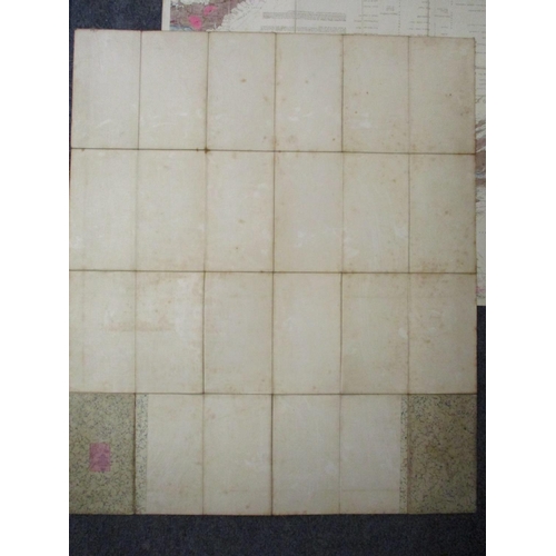
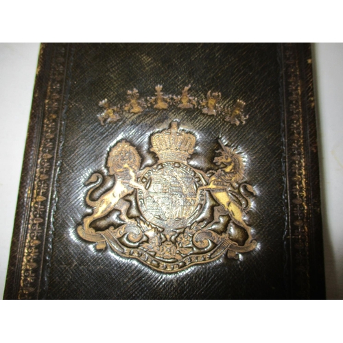
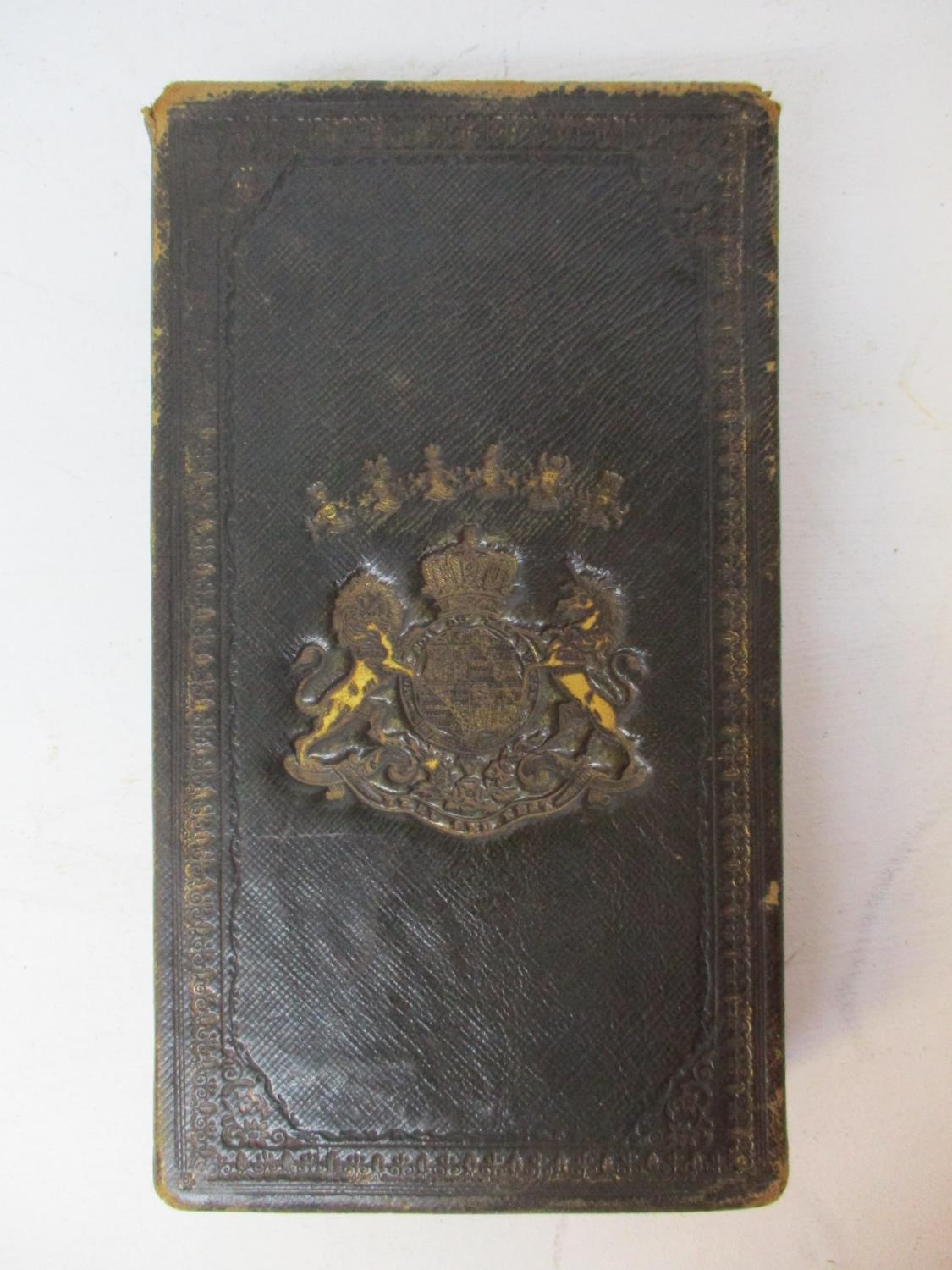
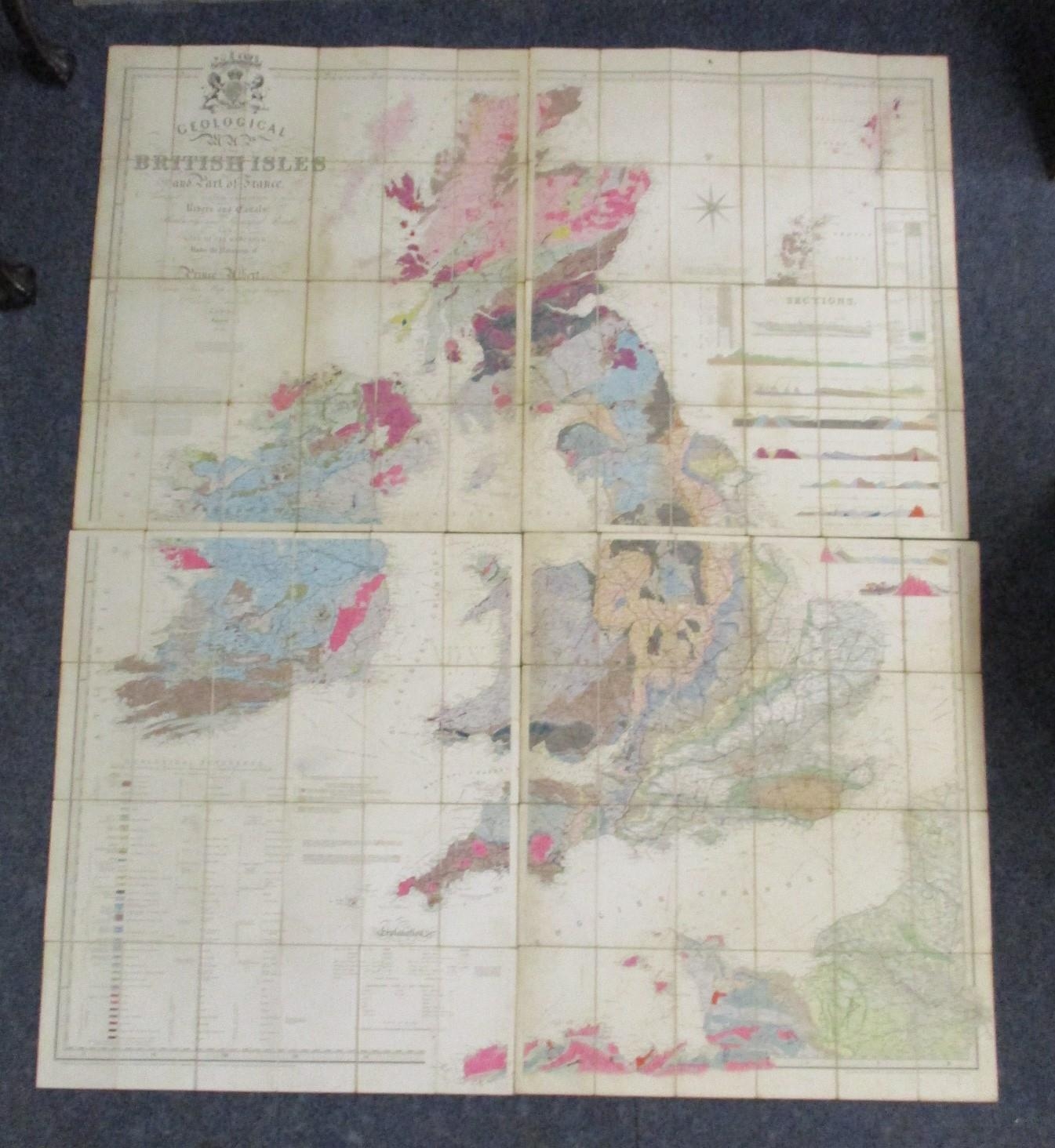
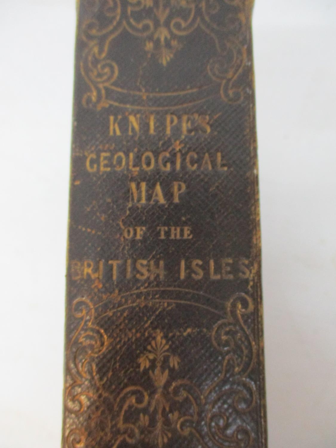
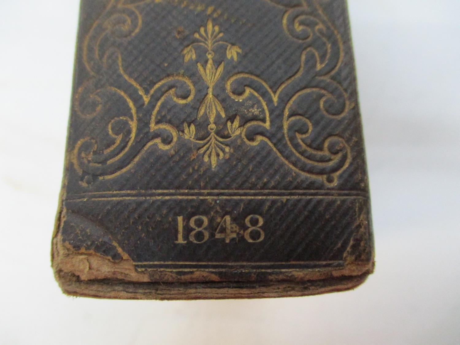
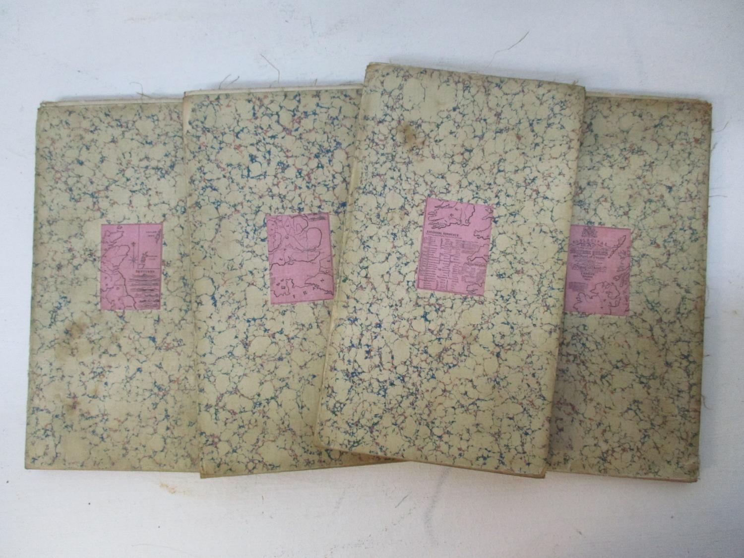
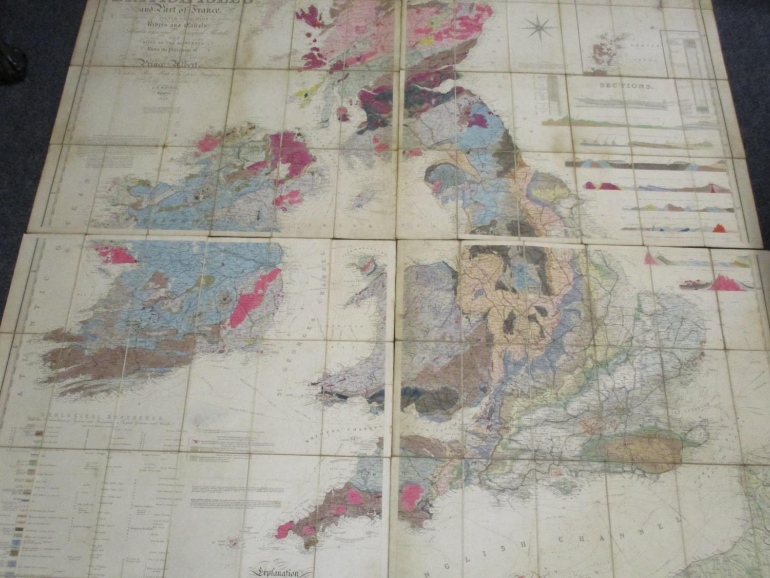
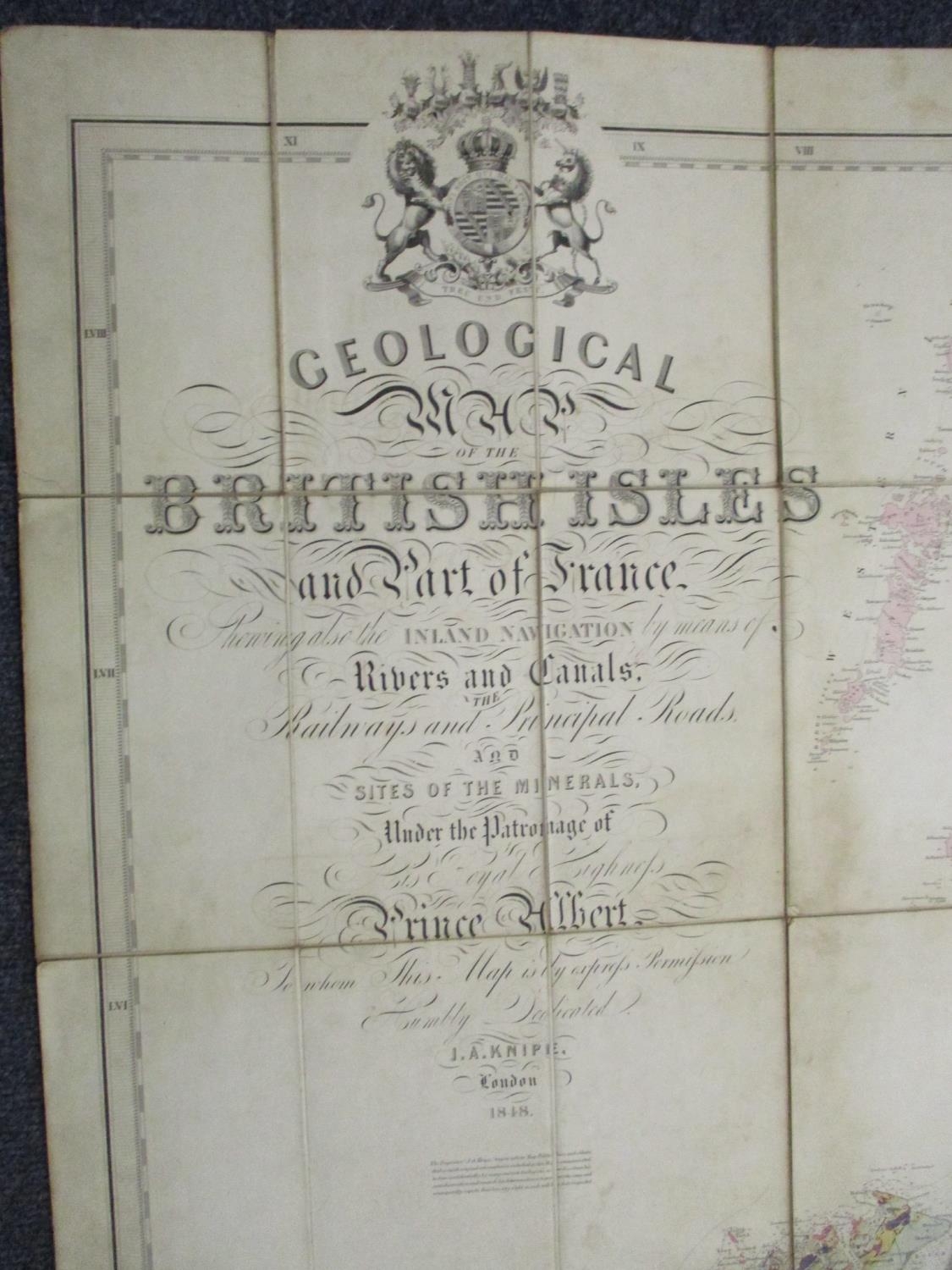
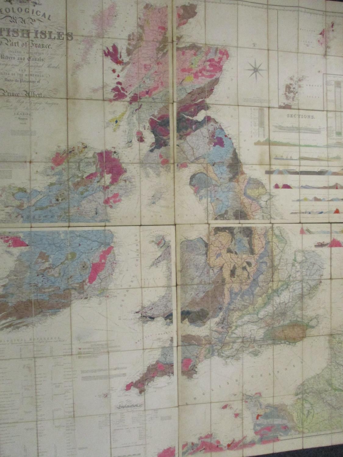
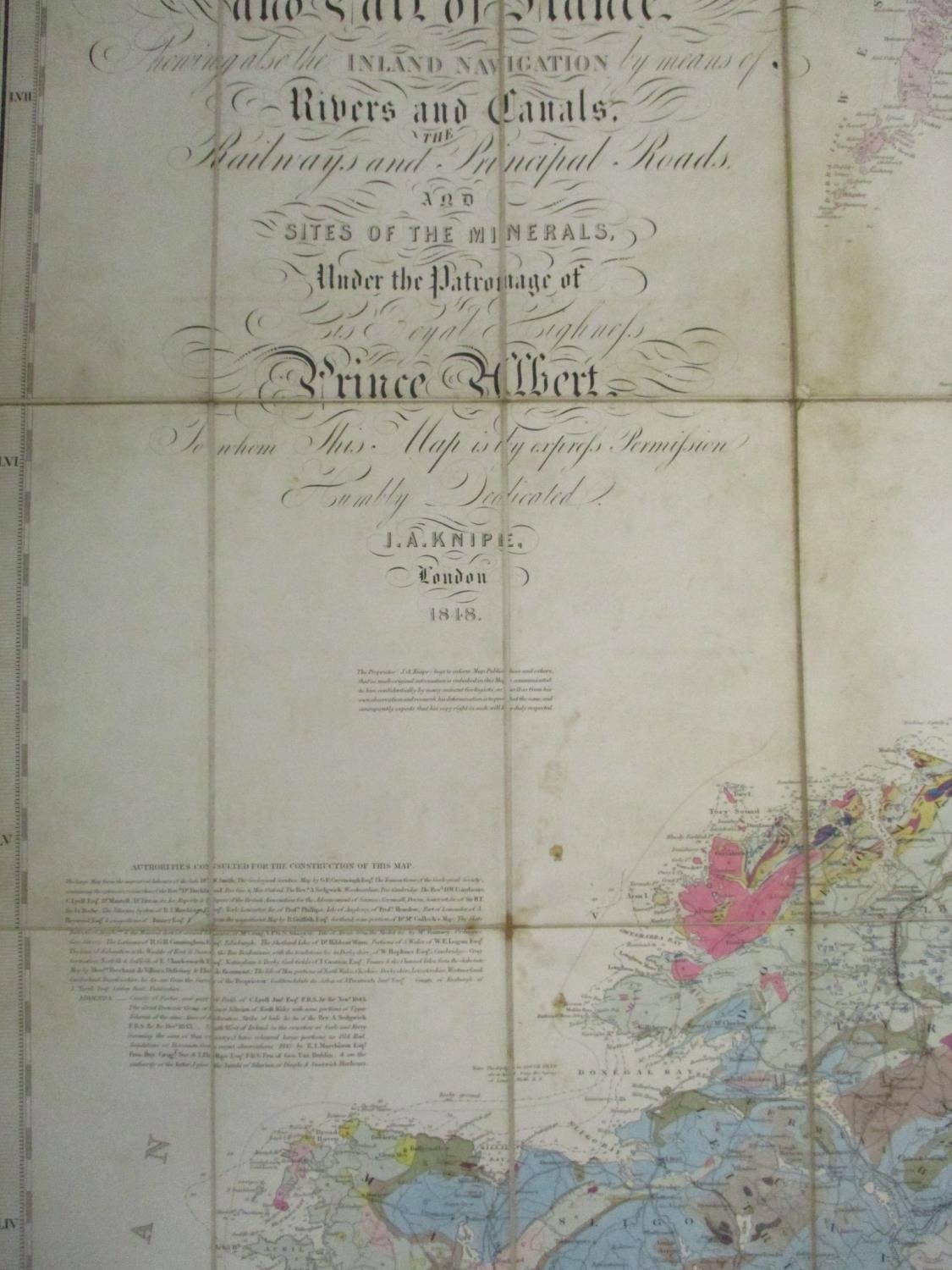
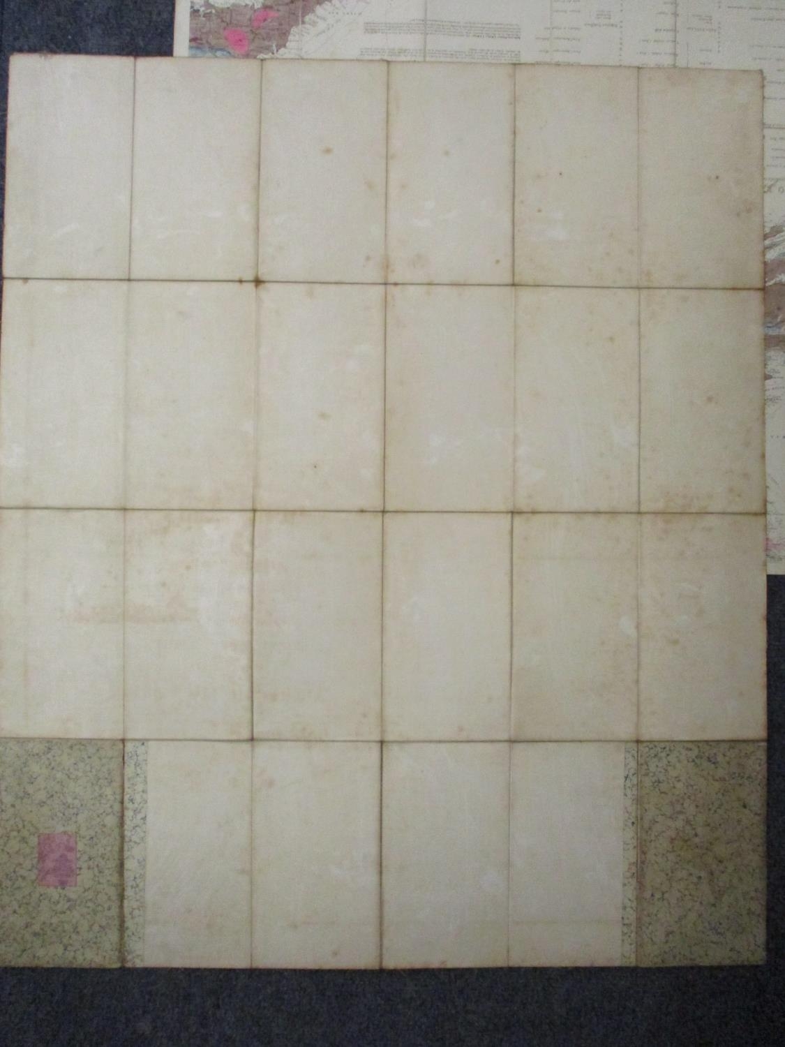
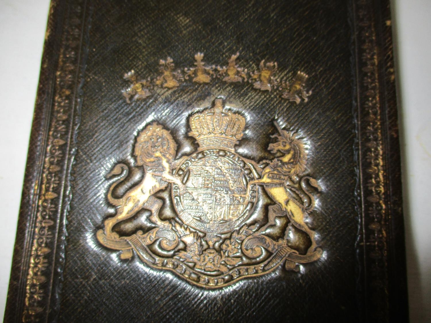
A Knipes Geological Map of the British Isles and part of France, showing the inlaid navigation by means of rivers and canals, the railway and principle road and sites of the minerals under the patronage of his Royal Highness Prince Albert, dated 1848, in four sections, fitting together to create a single map, contained in, a tooled, gilt leather clad card case, A/F
Location: LWB
Fees apply to the hammer price:
Room and Absentee Bids:
21% inc VAT*
Online and Autobids:
24.6% inc VAT*
01628 531500
in-house postage not provided
info@bourneendauctionrooms.co.uk
 Link to BEAR's Facebook page
 Link to BEAR's Twitter page
 Link to BEAR's Twitter page
 Link to BEAR's Instagram page